Table of Contents
ToggleIn a world where weather apps often get it hilariously wrong, one might wonder how scientists keep their heads above water—literally. The answer lies in the incredible technology orbiting our planet, tirelessly gathering data that helps us understand climate change and environmental shifts. From satellites that can spot a snowflake from space to sensors that measure atmospheric conditions, these high-tech marvels are the unsung heroes of meteorology.
As they zip around the Earth, these technological wonders collect vital information that keeps us informed and prepared. They help predict storms, track pollution, and even monitor deforestation. So, next time the forecast predicts a sunny day and it pours instead, remember: it’s not just the weather app’s fault. It’s a complex dance of technology and nature, and the stars of the show are up there, keeping an eye on things from above.
Overview of Space-Based Data Collection Technologies
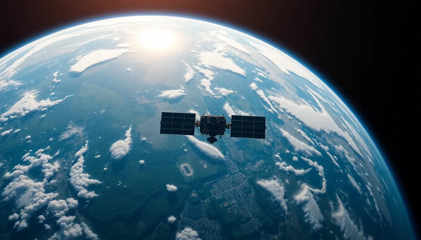
Satellites play a fundamental role in collecting data for weather, climate, and environmental monitoring. These spacecraft orbit Earth, utilizing remote sensing technology to gather crucial information. Various sensors aboard these satellites capture data on temperature, humidity, wind speed, and atmospheric pressure.
Polar-orbiting satellites provide comprehensive coverage of the planet. They monitor global weather patterns, track climate changes, and observe natural disasters. Geostationary satellites, on the other hand, offer continuous monitoring of specific regions. These satellites deliver real-time data that aids in weather forecasting and storm tracking.
Instruments such as radiometers and spectrometers enhance data collection capabilities. Radiometers measure the energy emitted from Earth’s surface and atmosphere, providing insights into thermal conditions. Spectrometers analyze light variations to identify gases and particulates in the atmosphere, essential for pollution assessment.
Data integration from multiple sources complements satellite observations. Ground-based stations, ocean buoys, and aerial surveys contribute additional context to satellite data. This collaborative approach enhances accuracy in climate modeling and environmental assessments.
Advanced technologies such as artificial intelligence optimize data processing. Algorithms analyze vast datasets, providing quicker and more accurate predictions. These advancements enhance the understanding of complex climate systems and improve decision-making for environmental policy.
Space-based data collection technologies significantly influence various sectors. Agriculture relies on satellite data for crop monitoring. Disaster response teams utilize weather information to coordinate rescue operations. Oceanography benefits from satellite data to track sea surface temperatures and currents.
Space-based technologies form the backbone of modern environmental monitoring. Their ability to provide precise, timely data supports efforts to address climate change and protect natural resources.
Satellite-Based Observations

Satellite technology plays a vital role in gathering data for weather, climate, and environmental monitoring. These advanced tools deliver comprehensive insights that inform various sectors, such as agriculture and disaster response.
Earth Observation Satellites
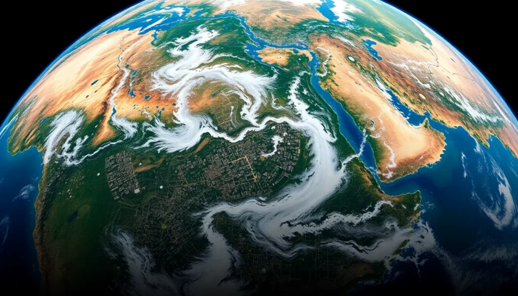
Earth observation satellites capture critical data from space. By orbiting the planet, they provide global coverage and monitor environmental changes. Polar-orbiting satellites collect data as they pass over different regions, while geostationary satellites maintain a fixed position, offering continuous observation of specific areas. Numerous satellites, like NASA’s Landsat series, contribute vital information about land use and vegetation. Satellite data enhances understanding of deforestation trends and urban development, enabling better resource management.
Remote Sensing Technologies
Remote sensing technologies enable the collection of diverse environmental data. Instruments like radiometers measure energy emitted from the Earth, while spectrometers analyze reflected sunlight. Together, these tools assess various atmospheric components, such as temperature and humidity. Drones complement satellite observations by providing high-resolution imagery for localized studies. Integration with ground-based sensors improves data accuracy, allowing for refined climate models. As a result, remote sensing technologies contribute significantly to understanding climate dynamics and predicting weather patterns.
Climate Monitoring Instruments
Climate monitoring instruments play a vital role in collecting data for understanding environmental dynamics and assessing climate change impacts. These tools help scientists and researchers analyze various climate parameters efficiently.
Radiometers and Spectrometers
Radiometers detect and measure radiation from the Earth’s surface and atmosphere. These devices capture data across different wavelengths, providing insights into temperature and surface composition. Spectrometers analyze the spectral content of incoming light, enabling the identification of gases in the atmosphere. Together, these instruments enhance the accuracy of climate models by providing detailed information on greenhouse gases, aerosols, and other atmospheric constituents.
Atmospheric Sounders
Atmospheric sounders collect data on atmospheric profiles, measuring temperature, humidity, and pressure at various altitudes. By utilizing microwave or infrared technology, these instruments offer high-resolution vertical profiles of the atmosphere. The data gathered contributes to improved weather forecasting and climate modeling. Atmospheric sounders, including those on satellites like the Atmospheric Infrared Sounder, contribute significantly to understanding atmospheric conditions and their variability over time.
Environmental Monitoring Solutions
Various technologies collect data for weather, climate, and environmental monitoring from space. These solutions provide essential insights into atmospheric conditions and surface changes.
Synthetic Aperture Radar (SAR)
Synthetic Aperture Radar, or SAR, plays a pivotal role in environmental monitoring. This technology utilizes radar waves to capture detailed images of the Earth’s surface. It operates effectively in any weather condition, regardless of cloud cover, day or night. SAR systems can detect changes in land use, monitor deforestation trends, and assess the effects of natural disasters. They also provide critical data for studying ocean currents and ice dynamics. Various satellites, including the European Space Agency’s Sentinel-1, employ SAR to enhance environmental analysis through high-resolution imaging.
LIDAR Technology
LIDAR technology contributes significantly to environmental monitoring by using laser light to measure distances. This method provides precise, high-resolution topographical data that improves understanding of vegetation heights and land surface changes. LIDAR effectively assesses forest biomass and pinpointing areas of deforestation or restoration. It excels in mapping urban areas, providing insights into infrastructure changes. Additionally, LIDAR aids in coastal monitoring by measuring shoreline changes and vegetation patterns. NASA’s ICESat mission employs LIDAR to gather data on ice thickness and elevation, facilitating climate change research.
Emerging Technologies in Space Monitoring
Technological innovations continually reshape how space monitors data for climate and environmental assessment. These advancements aid in collecting precise information critical for understanding global changes.
CubeSats and Small Satellites
CubeSats offer a cost-efficient and versatile solution for space monitoring. These miniaturized satellites can be deployed in various orbits, enabling flexibility in data collection. They excel in specific tasks, such as high-resolution imaging and atmospheric monitoring. Organizations utilize CubeSats to gather localized data that supports global climate models. Small satellites, with their reduced size and weight, contribute to larger constellations. This facilitates near real-time observations and enhances data reliability across different environmental metrics. Their affordability encourages more institutions to participate in space-based climate monitoring.
Advances in Sensor Technology
Advancements in sensor technology significantly enhance data collection in environmental monitoring. These sensors capture critical information regarding atmospheric composition and surface conditions. Remote sensing devices continuously improve in sensitivity and specificity, allowing for better detection of greenhouse gases. Emerging sensors include high-resolution spectrometers that analyze light to identify pollutants. Additionally, new temperature and humidity sensors provide accurate measurements across vast regions. Integration of these technologies into existing satellite systems boosts overall data quality. Enhanced sensor capabilities strengthen the ability to track climate change and its effects more effectively.
The advancements in satellite and sensor technology are vital for accurate weather and climate monitoring. These tools not only enhance data collection but also improve predictive capabilities across various sectors. As innovations like CubeSats and advanced sensors emerge, they provide more detailed insights into environmental changes.
This ongoing evolution in space-based technology is crucial for understanding and addressing the complexities of climate change. By continuously refining data collection methods, society can better prepare for environmental challenges and make informed decisions to protect our planet’s resources.


